Note: I’ve tried recording an article voiceover the first time; if audio is your thing, profitez! (And don’t judge my French)
Of the three mountain ranges defining Grenoble’s Y-shaped valley, the Vercors massif feels to me, though not the highest, the most remote. The Chartreuse, I can walk up from the city center in under an hour, and Belledonne is a classic saw-toothed, snow-capped Alps horizon-line, a self-contained landmark in the sky. Vercors hulks away into the southwest like a long, lumpy spine. It is the outermost fling of the Prealps, a spread of parallel valleys like claw marks slashed between limestone ridges lifted edgewise out of the earth.
It lurks at the edge of my mind.


I visited Vercors for the first time last fall with some friends, to go to an accrobranche park, a ropes course strung up in a forest near Mont Aiguille. The foliage was fantastic, and zipping along a tyrolienne (zipline) over a creek with an autumn-haloed view of that vertiginous mesa was indeed a thrill. We didn’t do any further exploring, however. I had to be satisfied with the breathtaking horizon of the more southerly Alps as it opened up from the freeway, and I didn’t visit again for some time.
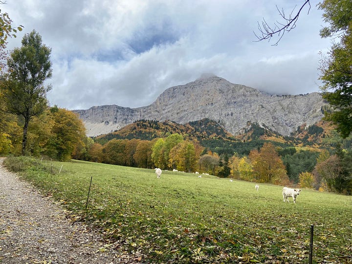
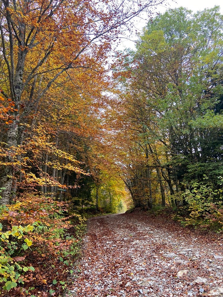
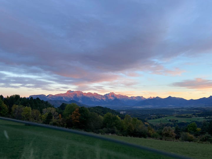
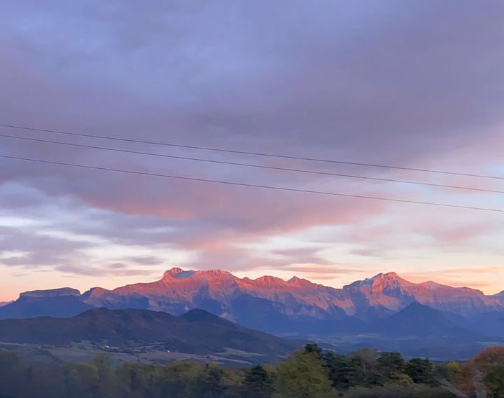
The main problem is my lack of wheels. Many Grenoble hikes are indeed accessible by public transit, and I could get to the trailhead of the nearest Vercors peak, Mucherotte, via bus (which I intend to). But this is only the northernmost tip of the range. That’s why the Grenoble-based nonprofit behind a useful little guide called “Randonées sans voiture” offered a one-off bus trip deeper into the massif this weekend, and why I decided to go.
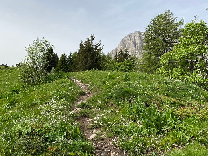
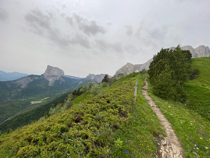
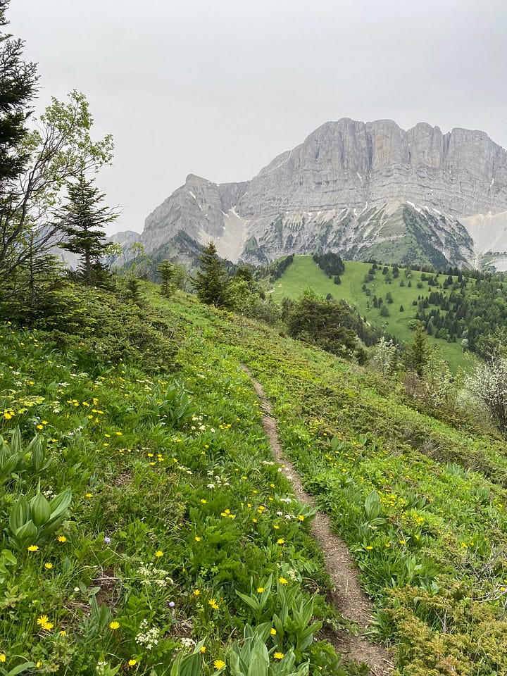
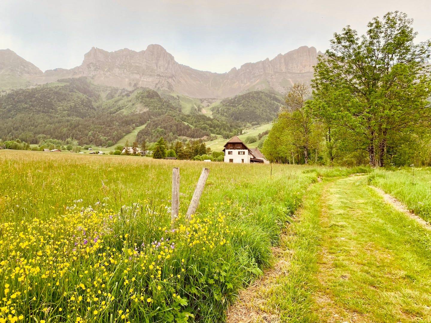
The bus dropped us off near Gresse-en-Vercors, a village sandwiched between one modest ridge that nevertheless required a large detour to traverse, and the much more imposing crest that runs all the way from Mucherotte to the southern coccyx of the Vercors plateau. My friend and I chose a hike along the top of one of the modest ridges, La Crête de Brisou, for its panoramic view of the big one.
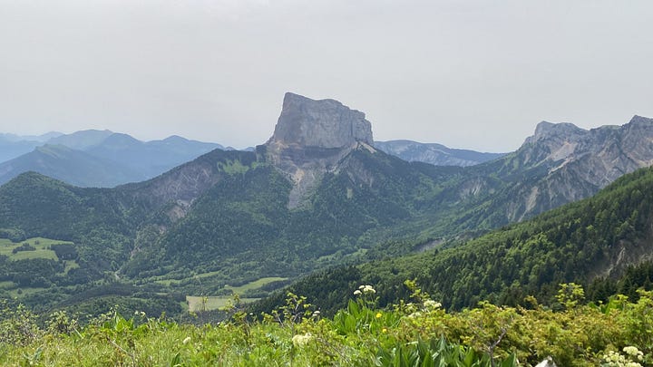
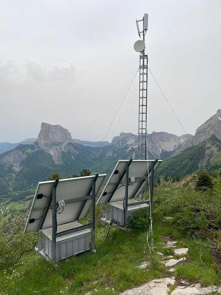
A short, steep, climb delivered the view: presiding, the noble rockface of Grand Veymont, the highest peak in Vercors; jagging northward as far as we could see, the Vercors spine; bluing the opposite horizon, the peaks of Devoluy and the true Alps (Ecrins National Park, I think); jutting above the southward slopes, Mont Aiguille, the same mesa we saw from the tyrolienne last fall.


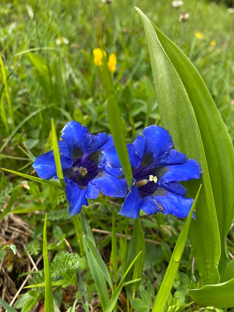
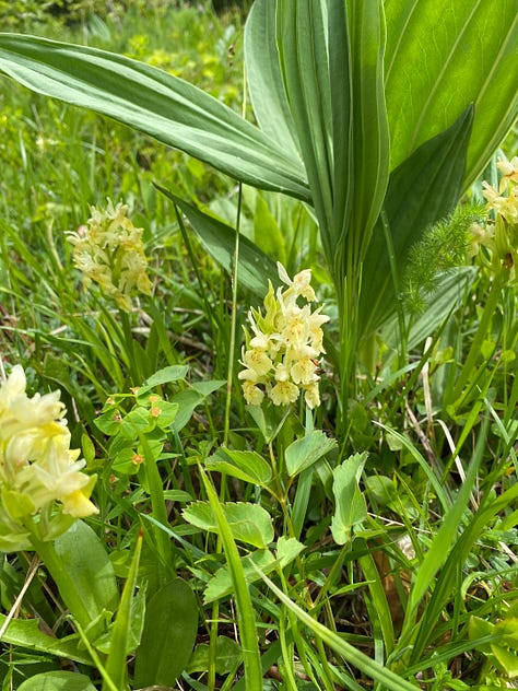
Closer at hand were the flowers, which had been stopping me every few meters along the ridge to document the smorgasbord. Several species of nicely dressed orchids in pink, magenta, and cream; indigo-blue gentians, bright yellow globeflowers, dainty narcissus, elegant pasqueflowers, banks of buttery horseshoe-vetch and star-like chickweed, and more. Flies of all sizes were buzzily busy, butterflies were flirting everywhere, and a tree pipit was singing his lungs out from the tops of spruces and on the downward glides of his “parachuting flight” displays. Somewhere in the forest we heard a cuckoo.
Prepare, now, for an overflow of flowers. For IDs, I’ve given them the top guess of the AI identification app, PlantNet, with a check from a naturalist friend—but if you’re a botanist and beg to differ on any of them, feel free to let me know.


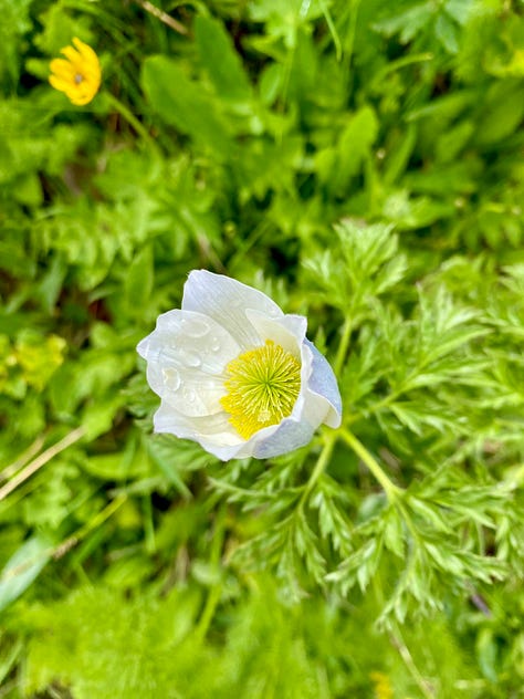

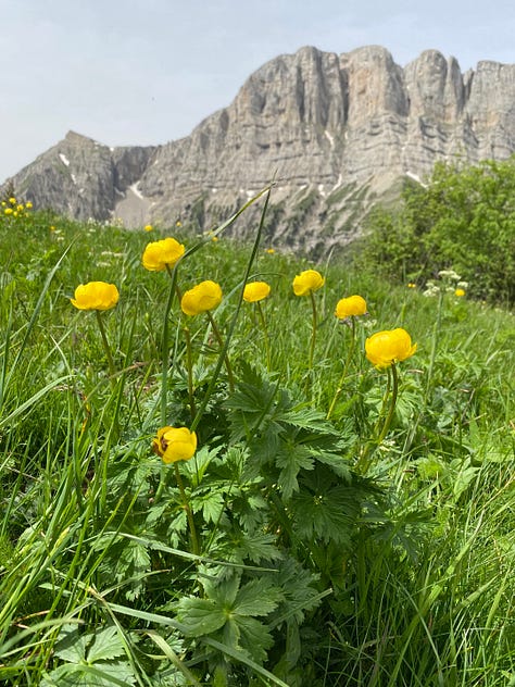
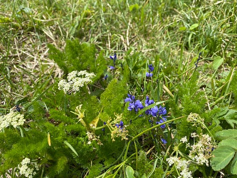
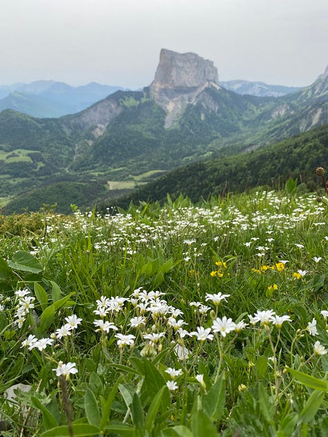


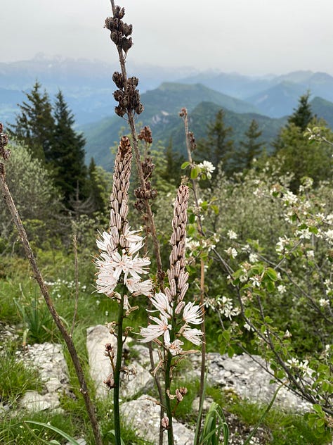
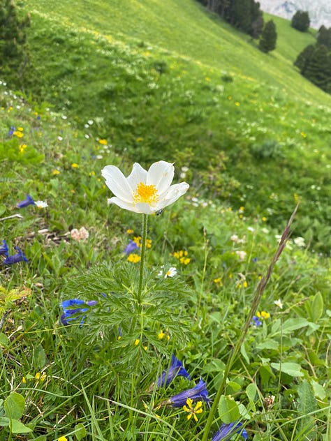
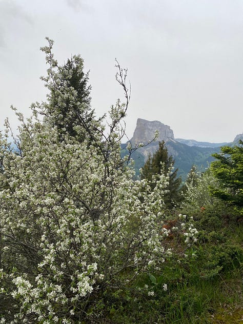
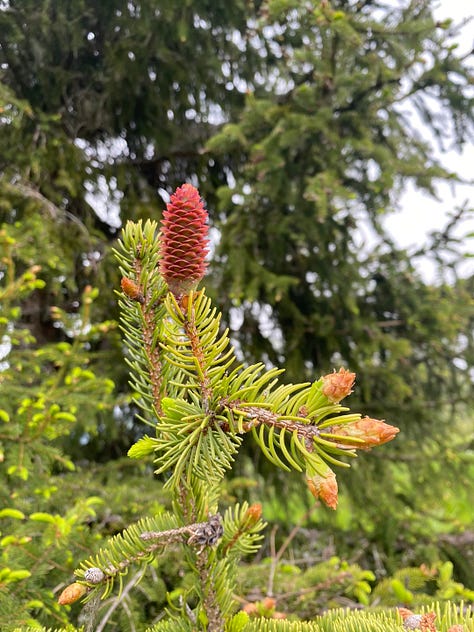
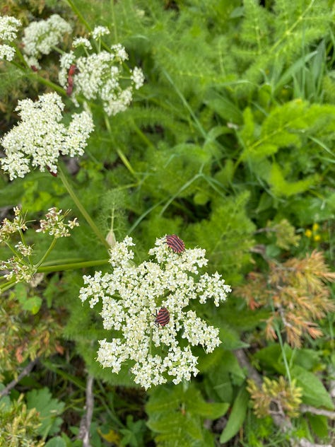

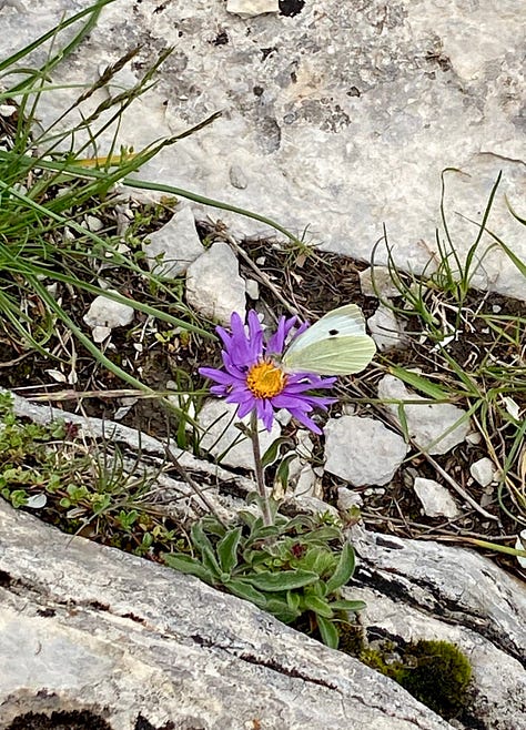


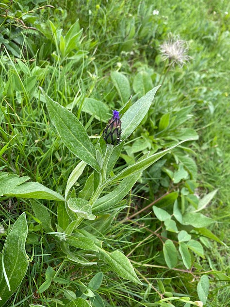
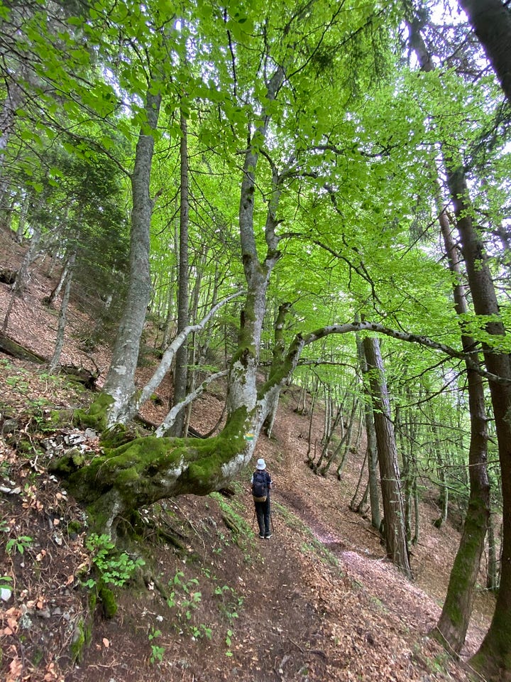
After an hour’s leisurely lunch amidst the flowers, rocks, and bugs, the morning’s window of visibility was already starting to haze over with approaching rain browned by Sahara sand. Fortunately, the rest of our hike was a gentle (though muddy) descent through beech forest, with a new array of shade-loving flowers and interesting tree trunks and fungus to distract me. (My day was further made by several root-parasite, chlorophyll-free birds-nest orchids right on the trail—see the second photo in the next gallery.)
We made it back to the bus before it really began to pour.
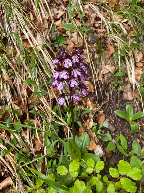
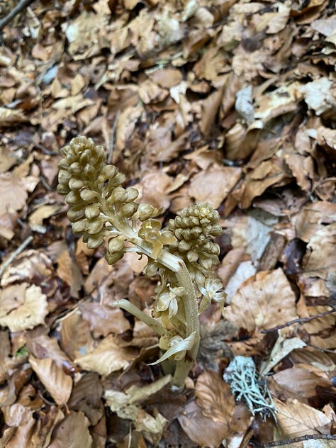
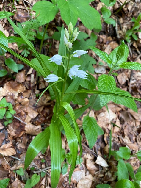
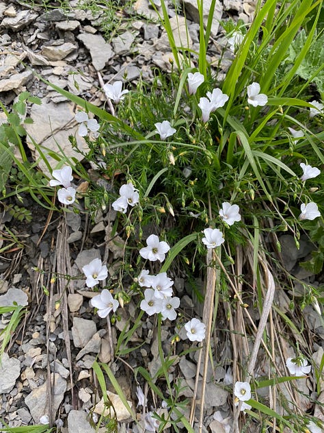
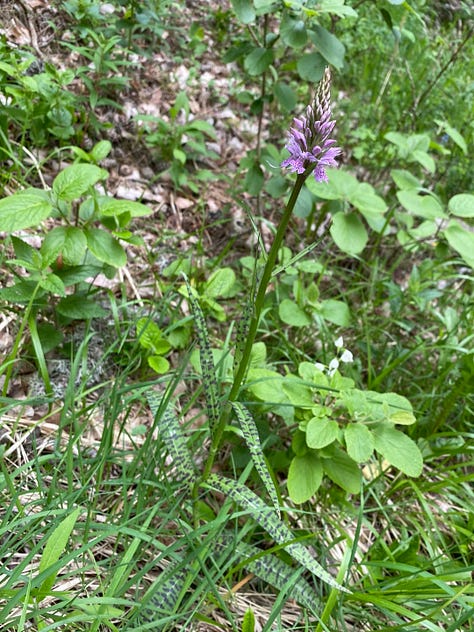
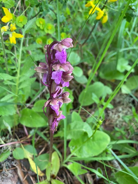
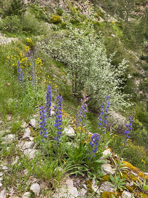

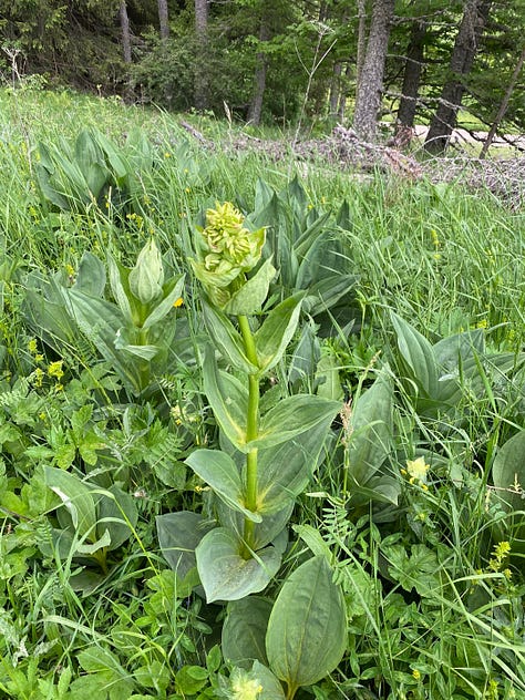
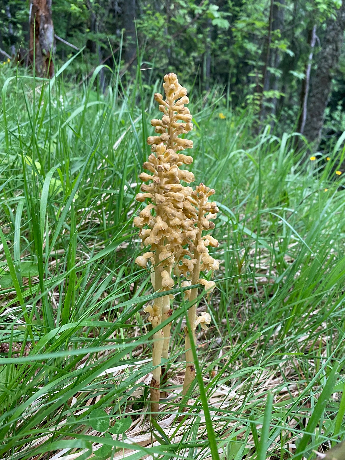



One hike is not, of course, enough to get the lay of the land on a whole mountain range, but it did help to orient me; it gave me another little pushpin around which details can start to fill the map. At the same time, beginning to pay attention to a place like Vercors only deepens its sense of remoteness. For one thing, I learned that some of the deepest karst caves in France yawn and worm almost a mile down and 28 miles along into its heart.
Then there’s the human history. Eighty years ago, a month after D-Day, French Resistance maquis (guerrilla) fighters were decimated by German troops when the latter invaded their Vercors stronghold, killing 600 maquisards and 200 civilians in the Battle of Vercors. A month later, the area was liberated. Thirty years ago, the immolated bodies of sixteen murder-suicide victims of the deadly cult Ordre du Temple Solaire were found in a Vercors forest. This history loosely inspired the recent French Netflix series Anthracite.1
There’s a lot more to the place than those terrible events, of course. Centuries of tradition, beautiful villages, sheep, cheese, forestry; millions of years of geology; plants and birds and insects loving their particular slopes and logs. We only ever see the barest edges of the story.
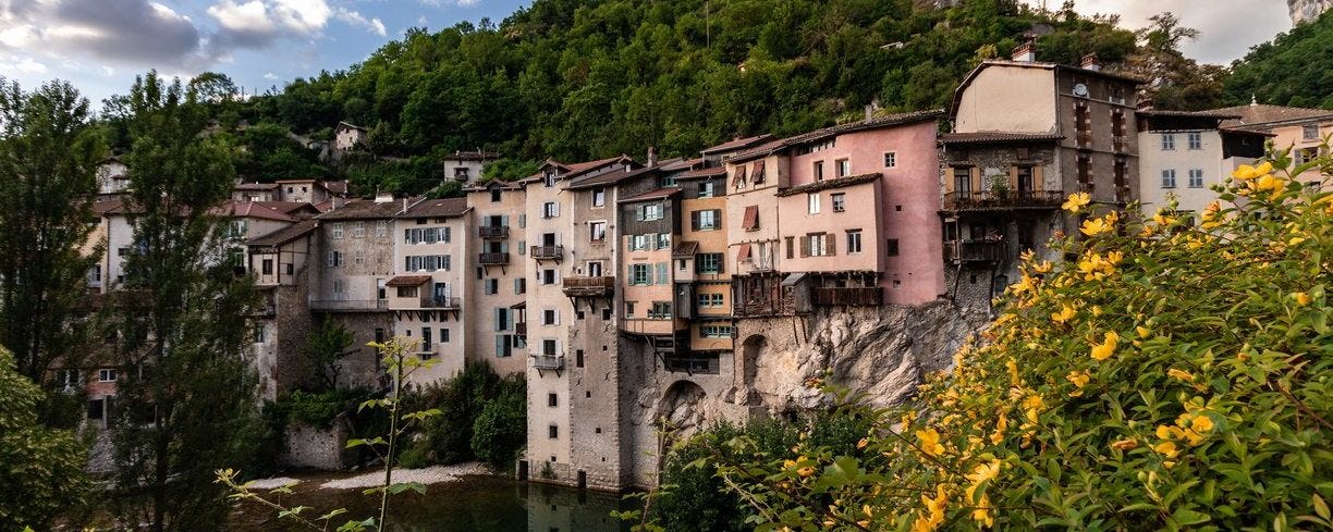

I started watching the series the evening of my hike out of fascination with the setting, as filming took place last year in locations around this region, including Vercors and Grenoble itself. It’s dark and a bit sensational, but honestly quite surface-level compared to the actual history of the cult.


Good rolled French "r" there!
Just so beautiful! Thank you, I feel like I am there!