I think it’s safe to say that most ecologists choose their career because they love nature. On some level, they just want an excuse to be outdoors, communing with the landscapes and living things they’ve always loved.
What this usually looks like is fieldwork. Leaving your desk behind, setting an email autoreply explaining that you’re in the field and have limited access to internet, and recalibrating yourself to the boots-on-the-ground world of gear wrangling, open skies, sample tubes, mud, insects, clipboards, sunburn, and at-least-you’ll-sleep-soundly-tonight. And perhaps wondering why you don’t just stick to hiking as a hobby instead. By the time the next field season rolls around, you’ll have forgotten enough of the gritty details of physical labor and finicky dataloggers to be ready to get out to your sites again.
I’m no exception. As a student, I saw becoming an ecologist as a chance to have a front-row seat to how nature works, and each field excursion as a chance to be uniquely intimate with a place. It turned out to be true in a lot of ways. Fieldwork has plunged me into the red soil and spires of Canyonlands, the stark sagebrush plains of the Great Basin, the ravishing, spiky Mojave Desert, and the buggy, boggy, beautiful alpine meadows of the Cascades, among other places. In each place, traipsing out into the middle of it and spending days measuring things in that particular dirt made me feel like more than a mere visitor there. A baptism of physical and mental immersion.
And now, the Alps. Ironically, my research has become increasingly computational, and my current project has put many layers of computer processing and theory between me and the plants. More thoughts on this dilemma later. But luckily, my computer-savvy lab group is also field-savvy, and fieldwork is a team endeavor. I signed up to help with as many field trips as I could this season, even though the data won’t go toward my project.
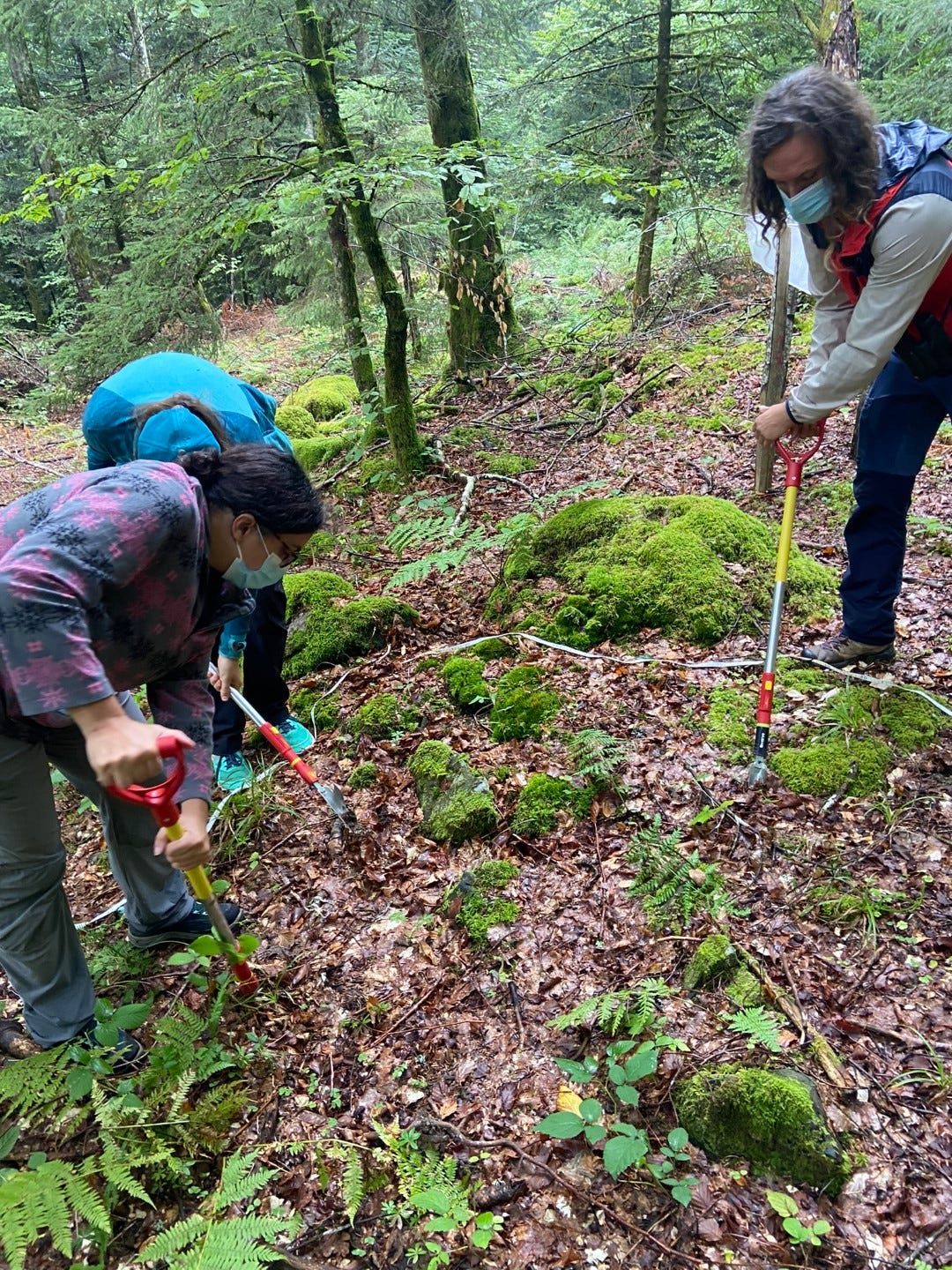
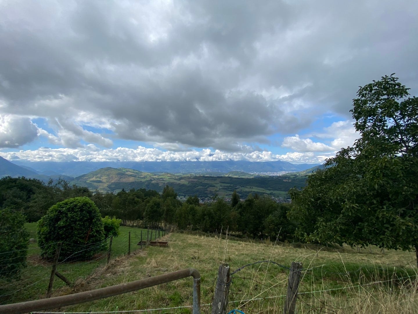
The part of the Alps within driving distance of Grenoble is well-inroaded with villages and ski stations. The closest field site I’ve visited, near the Chamrousse ski station, is less than an hour’s drive away and only a few minutes’ (steep) hike from the car. Among the moss and tree roots, we locate the plastic markers delimiting the plot, where we lay out the tape measures and dig up soil samples at the randomly allocated meter marks. This is one of a string of plots in Chamrousse making up an elevational gradient, a cross section of the mountain terrain’s biodiversity. This gradient is in turn one of a whole collection of gradients laid out across the French Alps and Pyrenees. It’s a long-term monitoring project (called ORCHAMP, but no one seems to remember what the acronym stands for) sustained by many teams, not just ours—botanists, entomologists, landscape ecologists, foresters—with climate and land use change in mind. Mountains change fast from foot to peak, and through the vagaries of human-modulated time.
Between plots, I ask for the French names of spruce (sapin), pine (pin), maple (érable). Julien dislodges a tick from his leg. We marvel over mushrooms and slugs. We carry bags of dirt back to the car to be sifted and analyzed back at the lab.

Our most recent campagne de terrain took us farther, all the way to the border of Switzerland. Our mission: install a new elevational gradient from scratch on the rocky slopes of the Chablais Geopark. That is, find each GPS point assigned to a new plot, choose the best aspect for rolling out the 30-meter lines, calculate slope-corrected lengths, stake the red and white plastic markers into the ground, and install various sensors—soil temperature and moisture meters, camera traps, acoustic recorders. All of these supplies and tools, plus the installation protocols and record sheets, have been wrangled in bins and backpacks by field technicians hired specifically for handling all of these logistics, the hallmarks of fieldwork. But it’s a democratic job and we will all haul and hammer. We anticipate a long day.
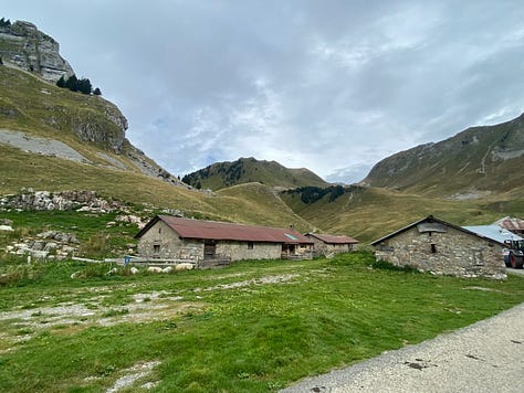
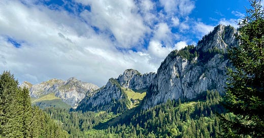
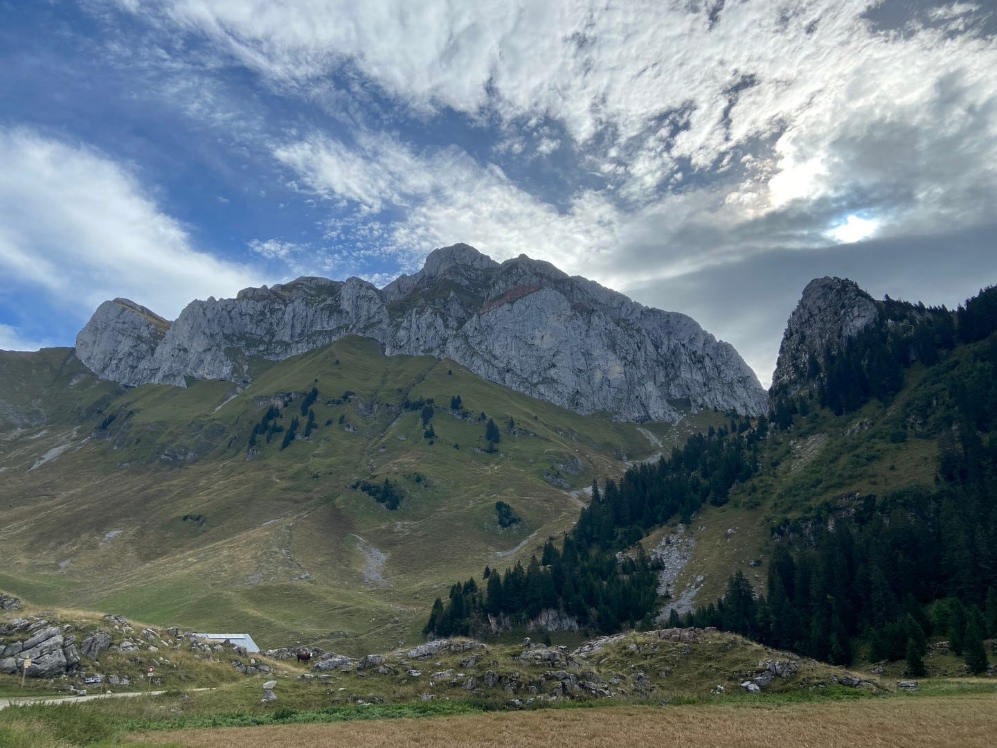
When we emerge from a darkly gorgeous, lushly forested river canyon (no hope of snapping a car window photo) and arrive at the Refuge de Bise, we’re greeted immediately by a meditative chorus of cowbells. We’re in alpine pasture now, scrubby hills overlooked by craggy cliffs. In the fold of the hills is a cluster of weathered outbuildings for milking goats and storing grain, and a few more cheerfully decorated chalets for hosting hikers. Cows are scattered about and donkeys are grazing in a pen.


We’re joined by some staff and the director of the Geopark, Sophie, a perky Brit with fluent but English-broadened French. As she will explain to me in English later, a Geopark is a UNESCO designation, a geological footprint of natural and cultural interest, that has local (commune-level) and international recognition, but not national. Sophie, a geologist by training and a former acquisitions advisor for an international bank, is now putting all her business acumen into play to improve the visibility and political leverage of the park. Our ORCHAMP gradient, with its climate science and network of collaborators, is a new asset, and she’s coming along to help with the installation and take notes.
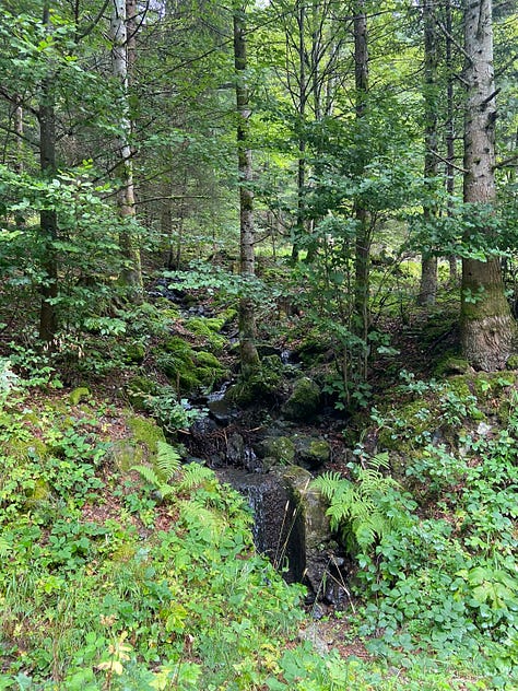
A huffing hike up through the pastures takes us to the first hilltop site. As fieldwork goes, the measuring and hammering is simple, and the weather is mild. There are a few small flowers still in the drying grass, the distant cowbells, a lone watering trough in a gully almost eerie with its rippling and gurgling. And the sweep of the limestone cliffs above it all. When the plot is finished, we eat our pique-nique, greasy slabs of pizza-bread purchased at a boulangerie that morning (only in France does every field trip begin with a stop at a boulangerie).
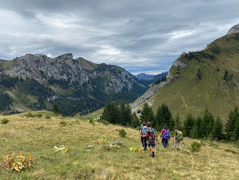


We split into two teams to install the remaining plots, one heading uphill and the other going down. I’m on the downslope team, which means missing out on the high-altitude glimpse of Lac Léman (a.k.a. Geneva Lake) over the ridge and going forest-bathing instead. As Amèlie, the field tech, points out, forest plots are much more challenging than open ones; we’ll have to negotiate logs and mossy boulders and thickly blanketed slopes to find a place where a thirty-meter line can stretch.
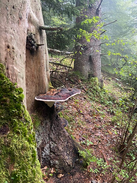
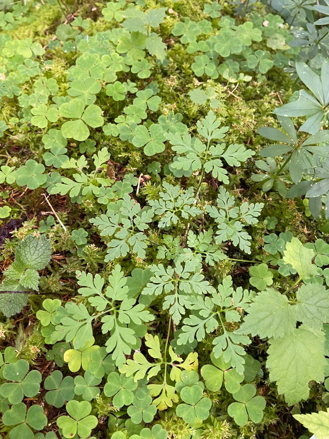
The impracticalities of the forest plots are worth it for the green swim: the ferns, the oxalis, the fungi. There’s flame fungus sending up neon branches, pelt lichens with black leather skins and tubular orange fruiting bodies like something in a reef or a deep sea vent, a lovely scarlet specimen of Amanita muscaria a.k.a. tue-mouches (fly killer) a.k.a. Mario toadstool. Julien eagerly collects edible cèpes, big chunky earth-toned mushrooms, and sings a nursery rhyme about a champignon marron.
Champignon marron
Mon champignon si bon
Mon champignon
Nous danserons sous les liserons.
Julien, self-appointed lab cook, is going to freeze the cèpes and cook them for us at the Jardin du Lautaret chalet during our next field trip.
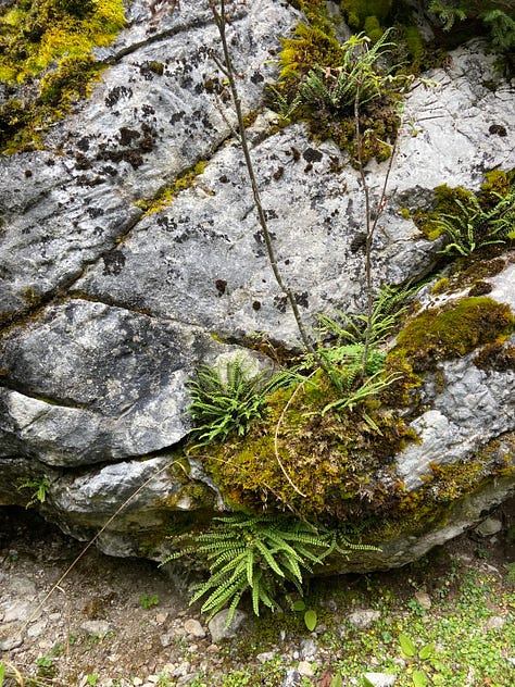
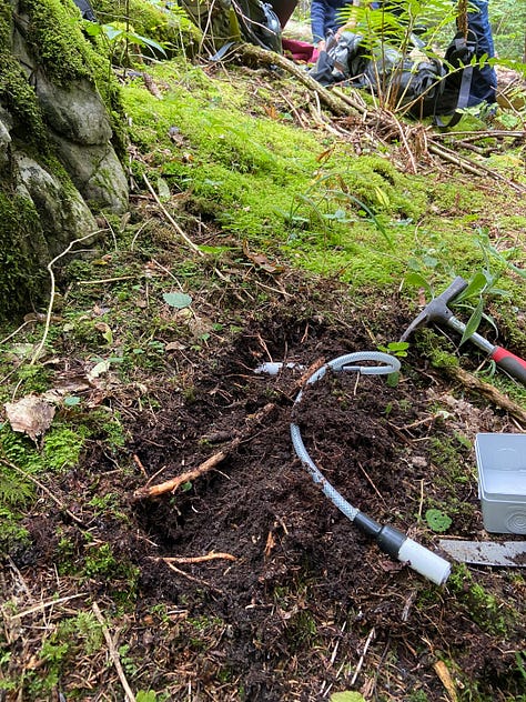


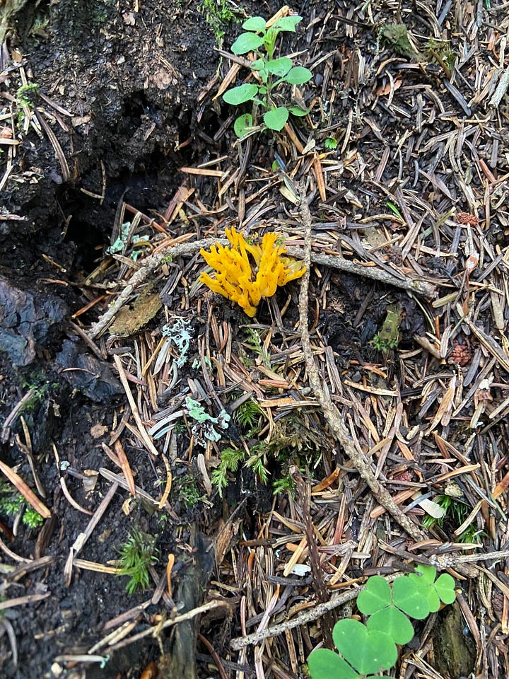

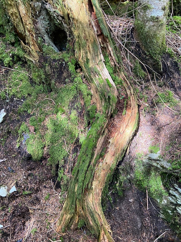
As we pull up to the side of the road at one site, there’s already someone parked there. It turns out to be a group of chasseurs, local hunters, and at first, they’re not too happy to see us. The stout, grey-haired, camo-trouser-wearing men are cagey about whatever they have in their van (possibly trophies over the allowed quota) and suspicious of what we might be installing in the woods over which they seem to feel a sense of ownership, although it’s public land. Amelie and Julien expertly put them at ease, showing them the simple markers, emphasizing the forestry aspect of the research, not mentioning the camera traps (which are for recording animals passing through, not for spying on hunters, but one can guess how they would feel about it). They wave us off jovially enough when we climb up the bank into the trees. When we bury the soil moisture sensor we make sure to cover it well with moss.
In the Chamrousse gradient, we cut right through sheep pastureland where there we once encountered a wary sheep guardian dog (patou), which are more dangerous than natural predators in the Alps. When we came back up the road, temporary electric fences had been erected in the meantime, a long trail of fresh sheep droppings strewn between them. Another site is bordered by torn up forest floor where harvested timber has been hauled through. Human-mountain interfaces are, as ever, inextricable from ecology research here.
The physicality of field work has me of two minds. There’s the respite from the brain-work of research, with simple walking becoming time well-spent, and the protocol that you learn like the rules of a game, easing further into the groove of repetition with each new plot. There’s the tactile mantra of sifting soil samples, no need to think. There is of course the vigor and beauty of being in the place itself. But then there is, inevitably, the tedium and discomfort. Do any of this long enough and your back aches, your fingers chafe, you just want to be done. You forget a key tool all the way back at the trailhead and someone has to go back. It starts to pour rain. (In the Mojave desert, you’re chugging warm Gatorade; you get speared by a Joshua tree.) You’ve counted so many plants you’re seeing them behind your eyelids. You underestimated how long a task would take and now you’re working until sundown.
Is this perhaps one of the reasons I’ve drifted away from field-based research? The physical and logistical effort of it all? It’s not like I didn’t see the drift coming. After my naturalist heart led me to ecology, my puzzle-logic-numbers mind—not to mention pragmatism in an evolving field—turned me to computers. When I added Bioinformatics to my Conservation Biology major in college, I worried that I would get pigeon-holed into computational work that would abstract me from the physical places the computer models try to represent. And so far, in many ways, that concern has been proven well-founded. Despite optimistically pitching myself “at the intersection of field and computational work” in my grad school applications, my PhD ended up field-less. (Perhaps the pandemic was partly to blame, but I already knew the field plan I had hatched wasn’t really practical. Modeling questions were simply easier to pursue.) I chose a postdoc project encompassed entirely by computer modeling. I’m not the only one, either; ecology is increasingly informatics, taking in hand huge datasets captured by satellites and sensors and DNA sequencers, mined by algorithms and AI. Despite my professions of field-love, I haven’t managed, yet, to lodge myself at that field-computer intersection; I only tag along with others who have. Is that inevitable?
There are deeper questions. Sometimes even the most beautiful field sites have you questioning whether your numbers and randomized plot designs and attempts to ward off human error and stochasticity mean anything. Sometimes it’s especially the most beautiful sites that do this. Or the most endangered. You wonder whether your incursion here will do anything for it. You wonder if the numbers are an insult to the complexity of the place, or simply a distraction. I wrote an essay when I was working in the remote redrock that tried to find words for the tension:
My breaks from science were to gaze at the hazy light that poured between spires and down towering walls, crowding the convoluted turns between rocks with gilded detail that was implied by the otherworldly topography rather than seen. It made me wish that science was less about sample sizes and more about walking the air between cliffs and seeing.
The root profile data I dug up on that Canyonlands trip ended up foundering in a google drive. I never published it. But I also gathered, while I was bent over the shovel, “roots nosing soil with a drive for water or for new light, cyanobacteria colonizing tiny hills and valleys of sand, ants lugging bits of plants or clearing tunnels grain by grain, grass curling around its seeds.” Regardless of the scale and digital reach ecology research achieves, there will be someone, somewhere, doing this gathering. All the better if it can be you, at some point. To home in on a place and organize your thinking around its specificities, to go stand in it and absorb its gestalt, filling in the gaps, noticing that indeed, your model’s 1-kilometer resolution is nothing like the real thing.1 The unsimplifiable thing that brought you here in the first place.
The last plot in the new Chablais gradient is in a steep but spacious wood, light streaming through the conifers, illuminating spiderwebs hoisted between logs, penetrating all the way to the moss and the ferns. I walk the length of the tape measure like a tightrope on the spongy slope. At the end, I discover that the moss is too deep for the stake to get good purchase in the earth. I sit back and start to see all the shapes in the green blanket. Someone will count them next summer, if I manage to secure this marker, pinning the place down. In the meantime, I’m simply happy to be here.

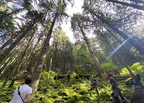
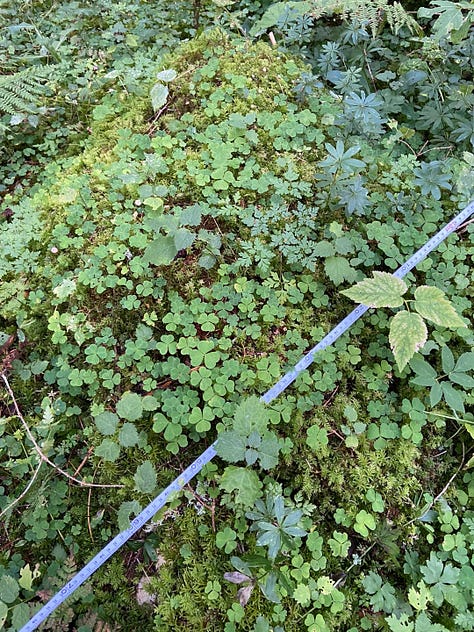
Back to the field tomorrow, back to the Col du Lautaret.
Or that the model is, as my supervisor puts it, “bullshit.”





Thanks for being so up-front about the challenges of finding a position on the cusp of field and lab work. Also about the difficulty in tying your work to results. I've often wondered about how hard it must be to arrive at reliable conclusions and make useful suggestions---to say nothing of getting those insights translated into action. I'm thankful for the growing number of experts that are making this effort. It couldn't be as easy as it sometimes seems to the average guy like me just enjoying the outdoors. I'm glad someone's finding ways to make a difference.
This is great detail and you ask the important questions that can apply to many other practices. Where do we place ourselves within the spectrum of "grunt" woek and "mind" work. My question re: the Alps research. What were you measuring? What types of changes would the data show over time?